Spaces:
Sleeping

Sleeping
| title: "Geospatial Analysis with QGIS" | |
| original_url: "https://tds.s-anand.net/#/geospatial-analysis-with-qgis?id=geospatial-analysis-with-qgis" | |
| downloaded_at: "2025-06-08T23:23:28.541219" | |
| [Geospatial Analysis with QGIS](#/geospatial-analysis-with-qgis?id=geospatial-analysis-with-qgis) | |
| ------------------------------------------------------------------------------------------------- | |
| [](https://youtu.be/tJhehs0o-ik) | |
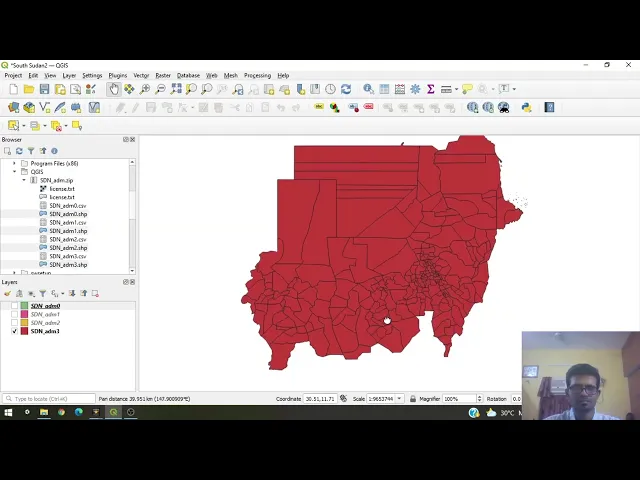
| You’ll learn how to use QGIS for geographic data processing, covering: | |
| * **Shapefiles and KML Files**: Create and manage shapefiles and KML files for storing and analyzing geographic information. | |
| * **Downloading QGIS**: Install QGIS on different operating systems and familiarize yourself with its interface. | |
| * **Geospatial Data**: Access and utilize shapefiles from sources like Diva-GIS and integrate them into QGIS projects. | |
| * **Creating Custom Shapefiles**: Learn how to create custom shapefiles when existing ones are unavailable, including creating a shapefile for South Sudan. | |
| * **Editing and Visualization**: Use QGIS tools to edit shapefiles, add attributes, and visualize geographic data with various styling and labeling options. | |
| * **Exporting Data**: Export shapefiles or KML files for use in other applications, such as Google Earth. | |
| Here are links used in the video: | |
| * [QGIS Project](https://www.qgis.org/en/site/) | |
| * [Shapefile Data](https://www.diva-gis.org/gdata) | |
| [Previous | |
| Geospatial Analysis with Python](#/geospatial-analysis-with-python) | |
| [Next | |
| Network Analysis in Python](#/network-analysis-in-python) |